|
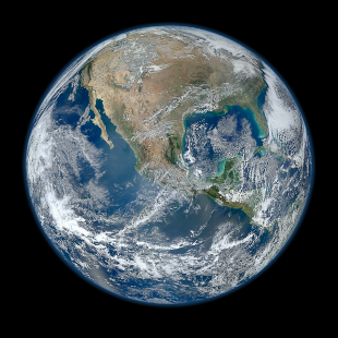
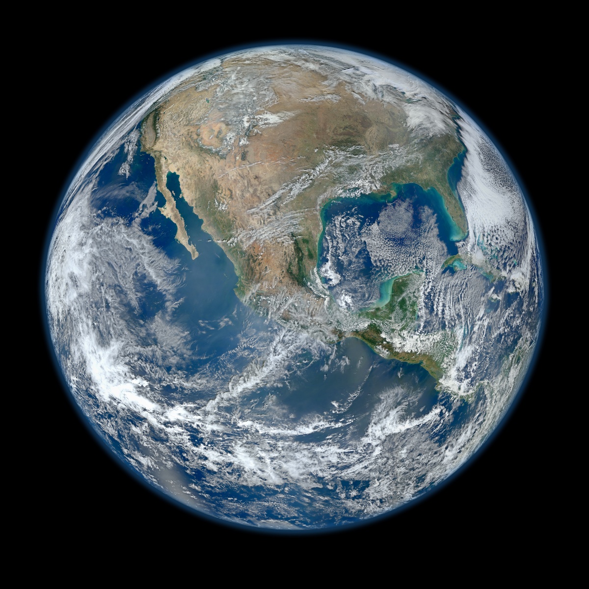
Four orbits of the recently launched Suomi NPP satellite provided the VIIRS instrument enough time (and longitude) to gather the pixels for this wide angle view showing Central and North America nestled between the Pacific and Atlantic oceans.
Our group is processing ocean color data from this mission and making derived geophysical measurements available to the ocean-color community for evaluation purposes.
The above composite -- collected on January 4, 2012 -- is also available as an 8000 x 8000 pixel image.
 The narrower-angle view at right — showing the Earth as if seen from one Earth diameter above southwestern Europe — was assembled from VIIRS data over a period of six separate orbits on February 3, 2012. The narrower-angle view at right — showing the Earth as if seen from one Earth diameter above southwestern Europe — was assembled from VIIRS data over a period of six separate orbits on February 3, 2012.
Click on the thumbnail for a larger view, or get the 12,000 by 12,000 pixel, 20 megabyte version.
|


