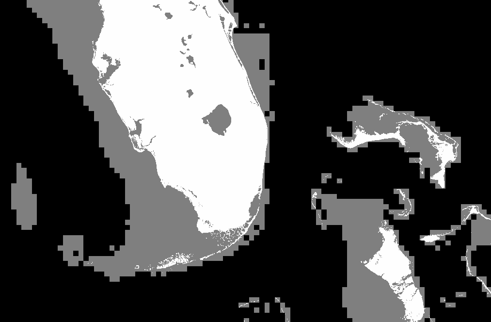
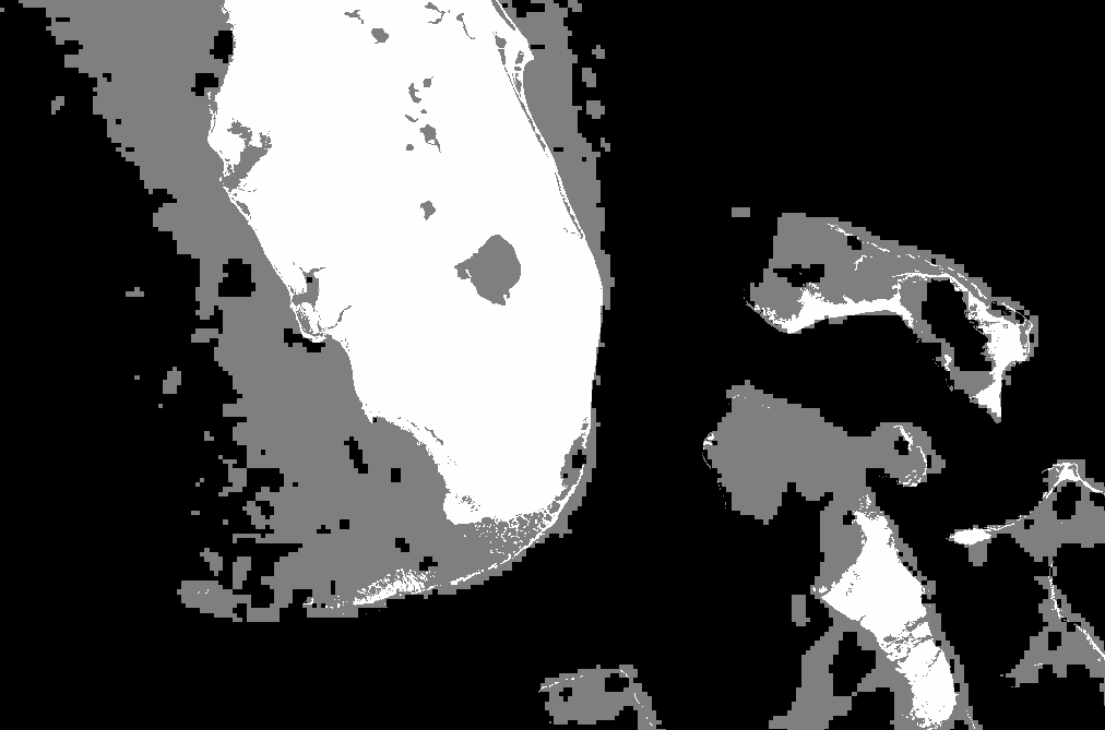
Shallow Water Mask Based on ETOPO2
The ETOPO2 global 2 minute elevation file was used to generate a shallow
water mask for use in level-2 processing instead of the 5 minute data that
is currently used. The 2 minute resolution greatly increases the
smoothness of the shallow water edge. The size of the new shallow water
mask file of 15 megabytes is slightly greater than the previous file size
of 13 megabytes and should not be a space problem.
The images below show the shallow water mask and the land mask for Florida
and off the New England coast. Click on these images to get full
resolution views