MODIS Views of the Bay of Fundy
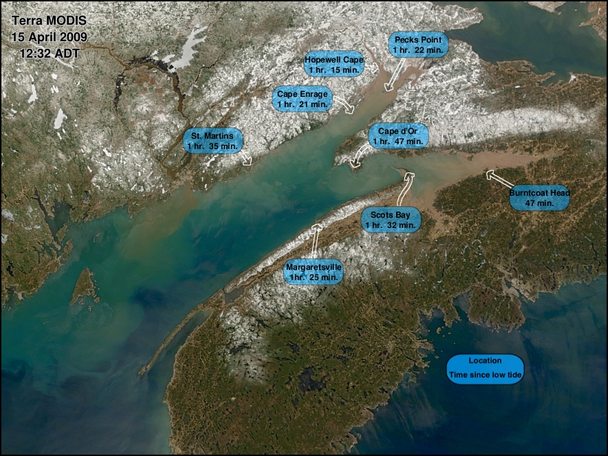
The tide was rising in the Bay of Fundy when the two MODIS sensors (on the
Terra and Aqua spacecraft)
flew overhead on April 15, 2009. Terra flew by a little over an hour
after low tide, and Aqua flew past an hour and 47 minutes later.
Move your pointer on and off of the above image to see the changes
in the bay during that interval.
The movement of water-borne features
into the bay is clearly evident. Along the Cape Split peninsula,
that curves around Scots Bay, you can even see the water
encroaching on previously
exposed mud flats. That this is visible to a sensor
whose smallest pixels are 250 meters wide, attests to the vary large
tidal range in this body of water.
Other changes between the two images are caused mostly by changing
sun and sensor view angles. More sun glint is visible on the water's
surface in the Aqua image. Some snow melt appears to have occurred
-- particularly in western Nova Scotia --during the interval between
the two images.
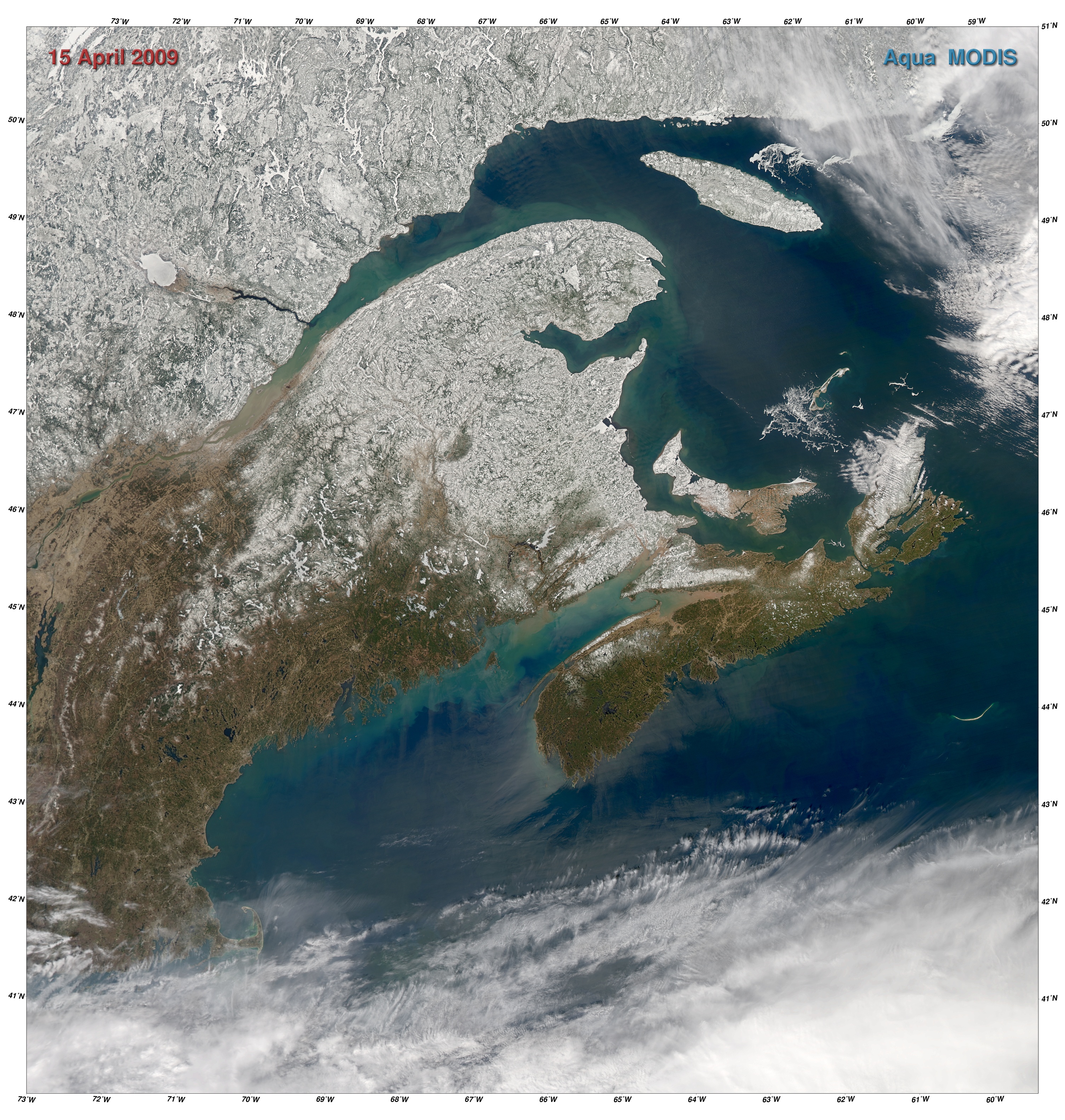
The following are links to larger regional images that
include all of the Canadian Maritime provinces and the
gulfs of Maine and St. Lawrence.